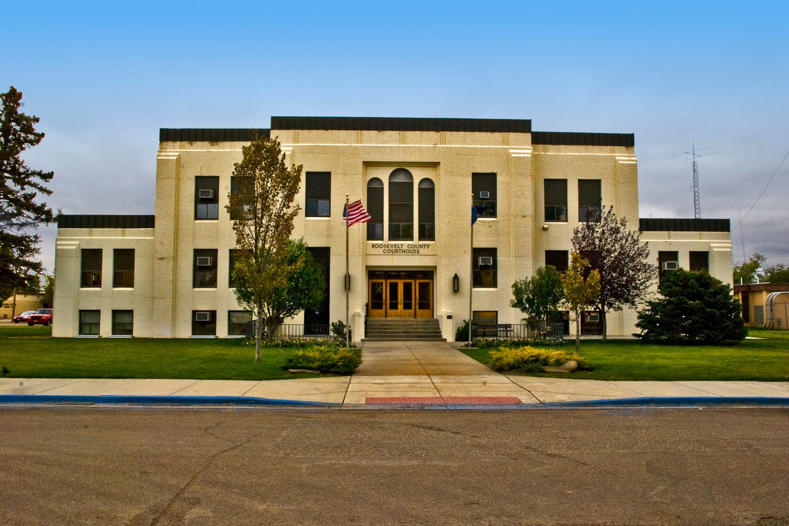
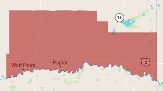
Roosevelt County is a county in the U.S. state of Montana. As of the 2020 census, the population was 10,794. Its county seat is Wolf Point. Roosevelt County was created by the Montana Legislature in 1919 from a portion of Sheridan County. The name honors former president Theodore Roosevelt, who had died earlier that year.
Geography
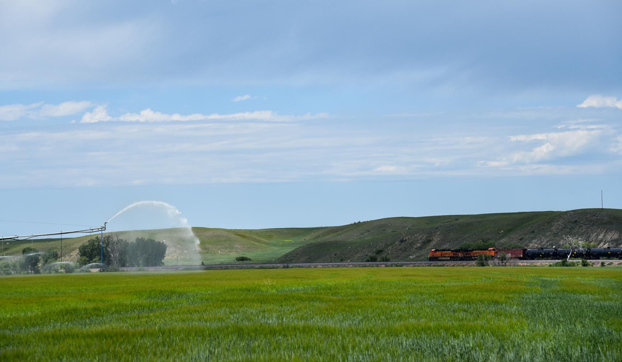
According to the United States Census Bureau, the county has a total area of 2,369 square miles (6,140 km2), of which 2,355 square miles (6,100 km2) is land and 15 square miles (39 km2) (0.6%) is water. Three-fourths of the county's land area lies within the Fort Peck Indian Reservation.
Major highways
Transit
- Amtrak Empire Builder (Wolf Point station)
Adjacent counties
National protected areas
- Fort Union Trading Post National Historic Site (part)
- Medicine Lake National Wildlife Refuge (part)
Climate
According to the Köppen Climate Classification system, Bredette has a cold semi-arid climate, abbreviated "BSk" on climate maps. The hottest temperature recorded in Bredette was 108 °F (42.2 °C) on August 6, 1983, and July 24, 2007, while the coldest temperature recorded was −52 °F (−46.7 °C) on January 20, 1954.
Demographics
2020 census
As of the 2020 census, there were 10,794 people living in the county.
2010 census
As of the 2010 census, there were 10,425 people, 3,553 households, and 2,548 families residing in the county. The population density was 4.4 inhabitants per square mile (1.7/km2). There were 4,063 housing units at an average density of 1.7 per square mile (0.66/km2). The racial makeup of the county was 60.4% American Indian, 35.8% white, 0.4% Asian, 0.1% black or African American, 0.2% from other races, and 3.0% from two or more races. Those of Hispanic or Latino origin made up 1.3% of the population. In terms of ancestry, 20.0% were Norwegian, 16.3% were German, 6.1% were Irish, and 1.3% were American.
Of the 3,553 households, 42.4% had children under the age of 18 living with them, 42.9% were married couples living together, 20.5% had a female householder with no husband present, 28.3% were non-families, and 24.2% of all households were made up of individuals. The average household size was 2.88 and the average family size was 3.41. The median age was 31.6 years.
The median income for a household in the county was $37,451 and the median income for a family was $50,146. Males had a median income of $39,008 versus $34,725 for females. The per capita income for the county was $17,821. About 15.8% of families and 21.5% of the population were below the poverty line, including 28.6% of those under age 18 and 10.9% of those age 65 or over.
Politics
Roosevelt County is competitive in presidential elections, due to its high Native American population. After a seven-election streak of voting for the Democratic candidate, it voted for Republican Donald Trump by narrow margins in 2016 and 2020. In 2024, the county trended more strongly in the conservative direction when it gave Trump a 53% majority.
Communities
Cities
- Poplar
- Wolf Point (county seat)
Towns
- Bainville
- Brockton
- Culbertson
- Froid
Unincorporated communities
See also
- List of lakes in Roosevelt County, Montana
- List of mountains in Roosevelt County, Montana
- National Register of Historic Places listings in Roosevelt County MT
References